The Presidentials…

Tuesday, July 12 began one of the real highlights of the hike. This was the several day stretch of hiking the “Presidential Mountain group in the NH Whites.
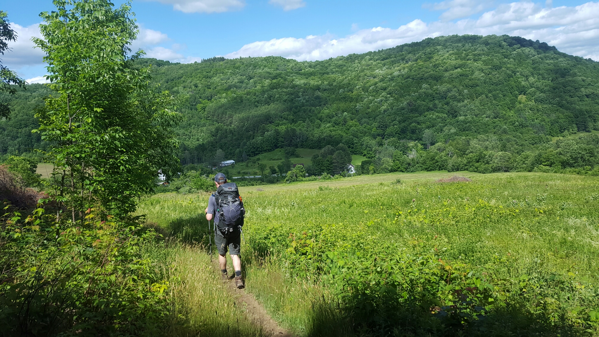
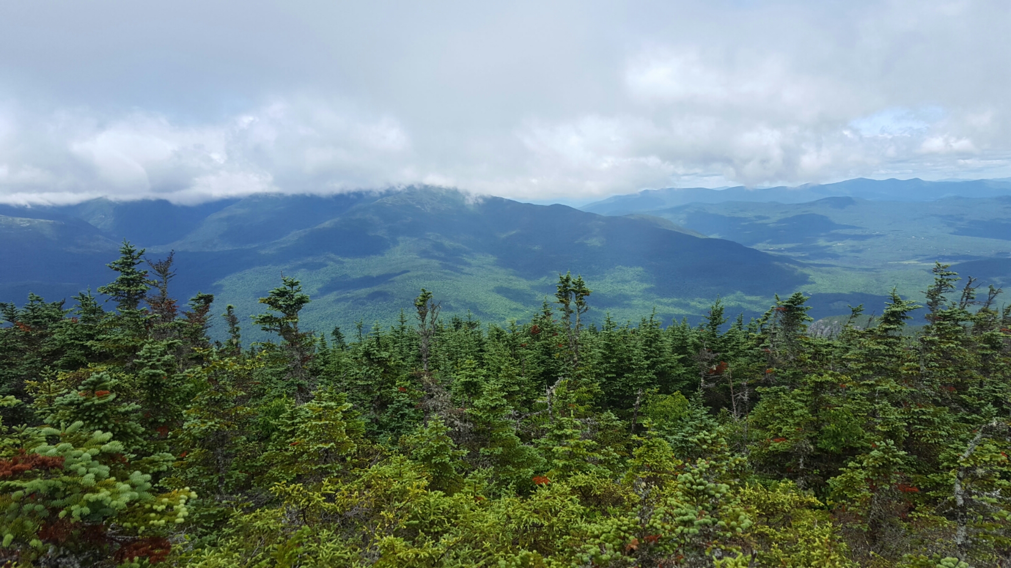
Started long uphill from Franconia Notch (Notches or ” Gaps “are low elevation spots between mountains that have roads and trailheads where hikers can begin their uphill climbs). About a 3500 ft elevation climb over 4 miles (ie long and steep), but great views at the top of Mt Lincoln and Mt Lafayette

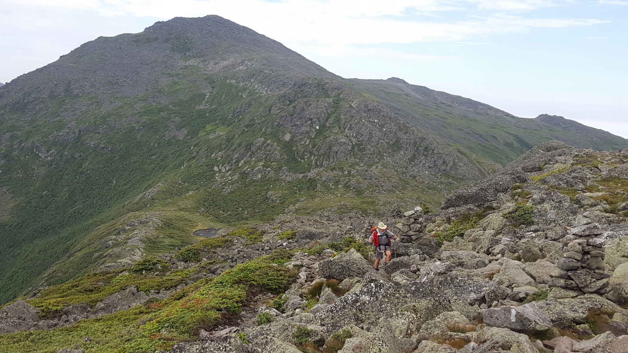
 It was about a 5 mile mountain ridge walk above treeline.
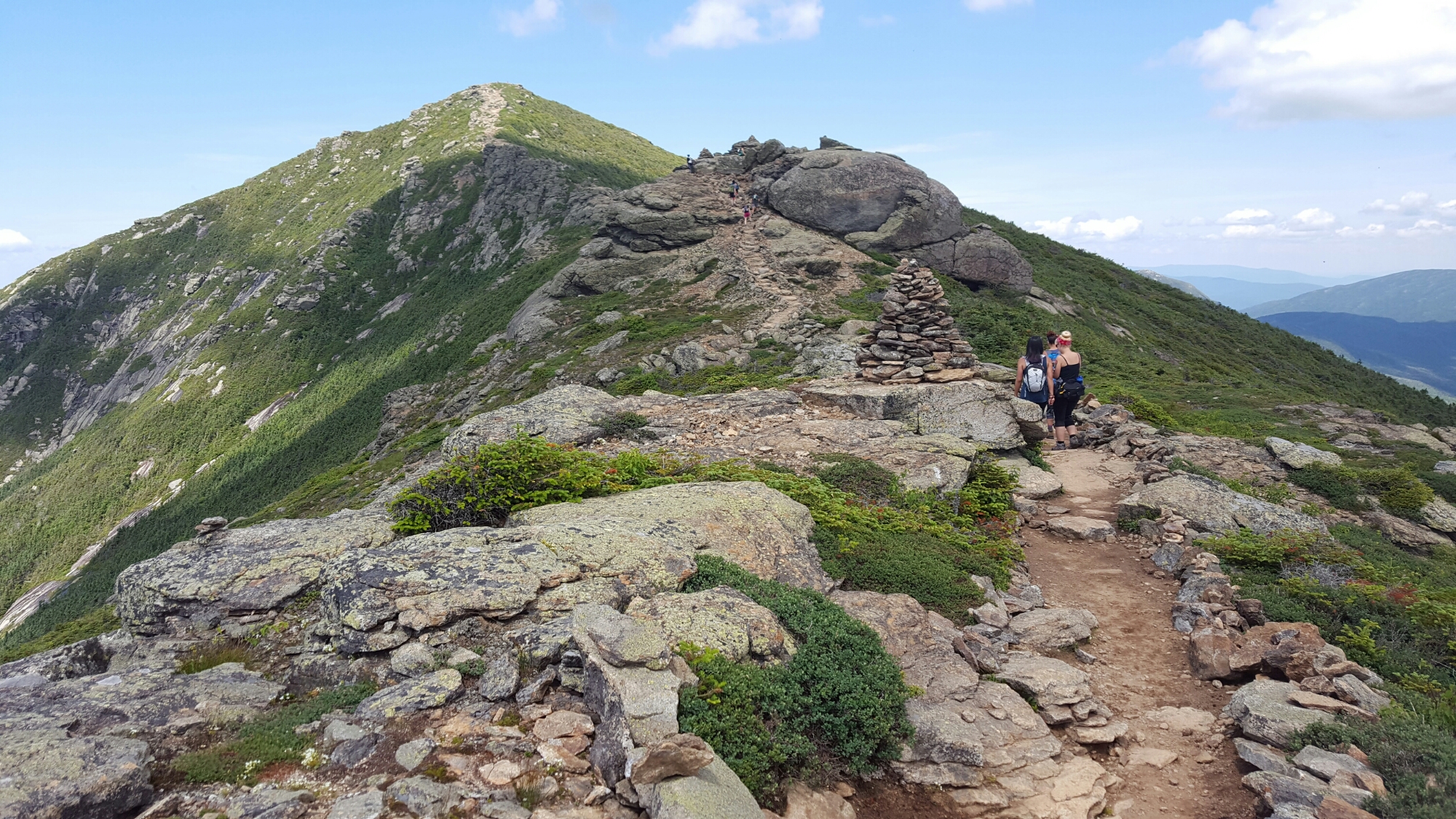
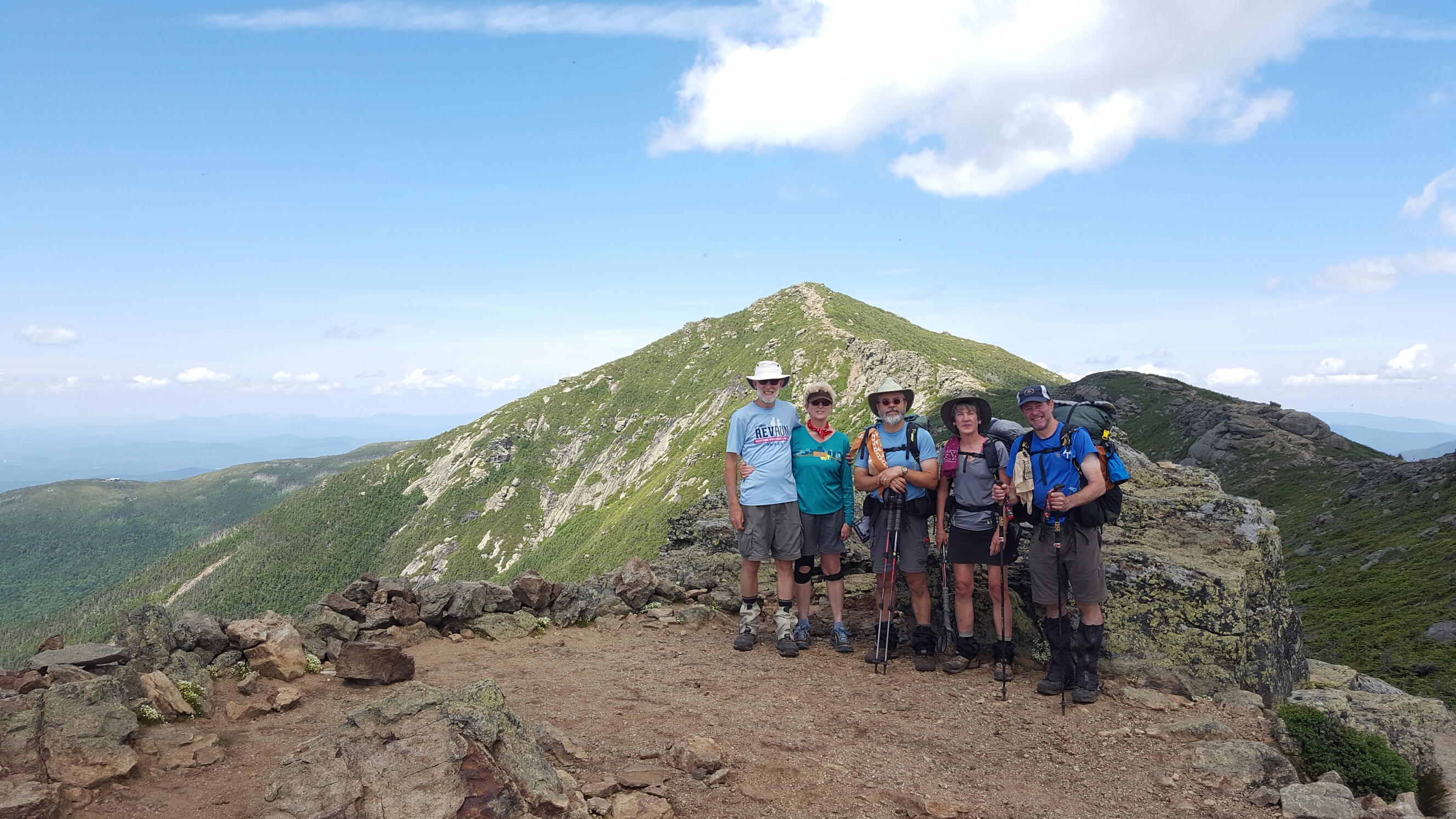
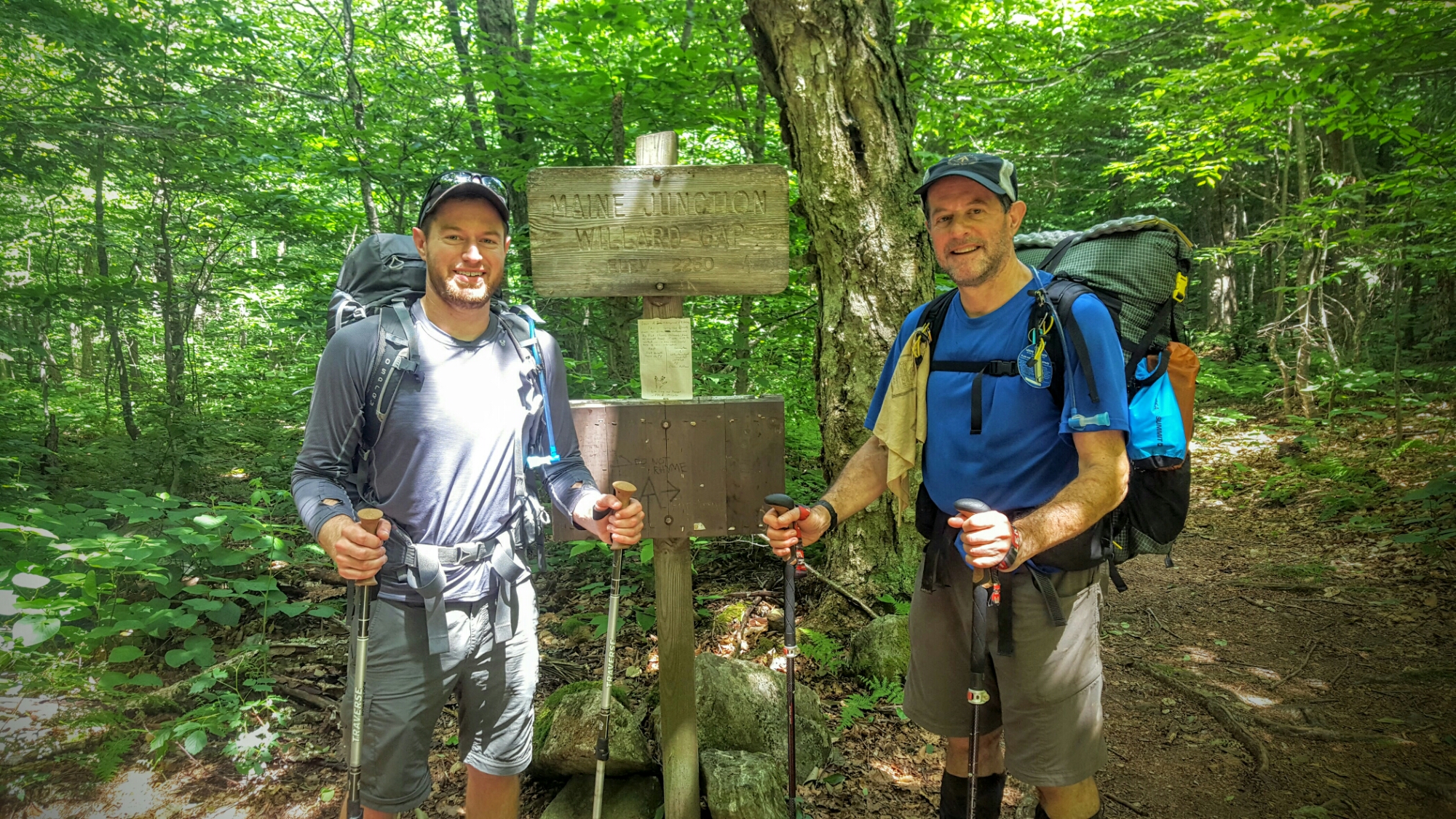
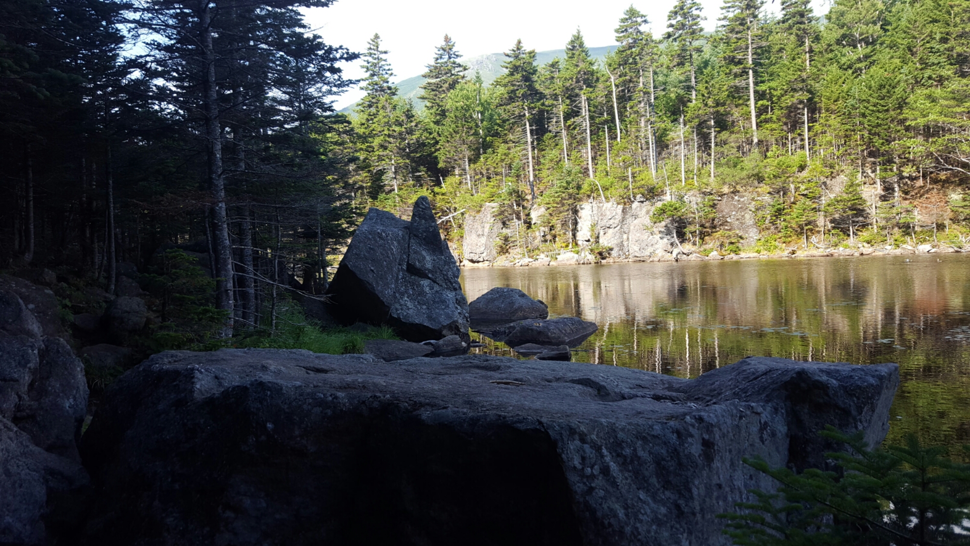
Hiking friends Tom, Katherine,, Chip and Jan. Hiked down Mt Garfield at the end of the day and found a stealth site for the night
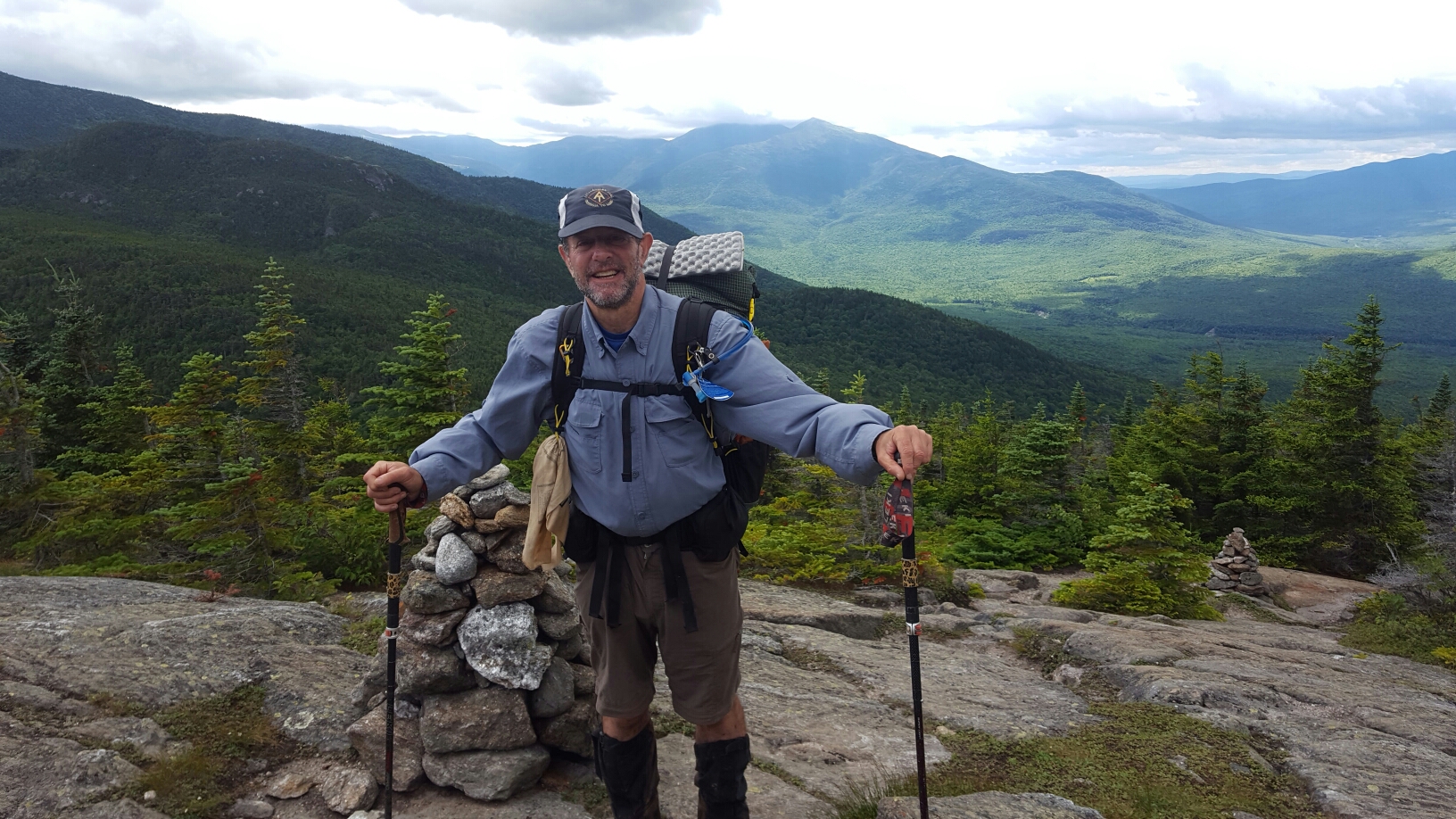
 Whenever you go down, you know you have to go back up! Next day no different. Up Mount Webster and Mt Jackson… A long day of hiking to get ready for the summit to Mt Washington the next day.
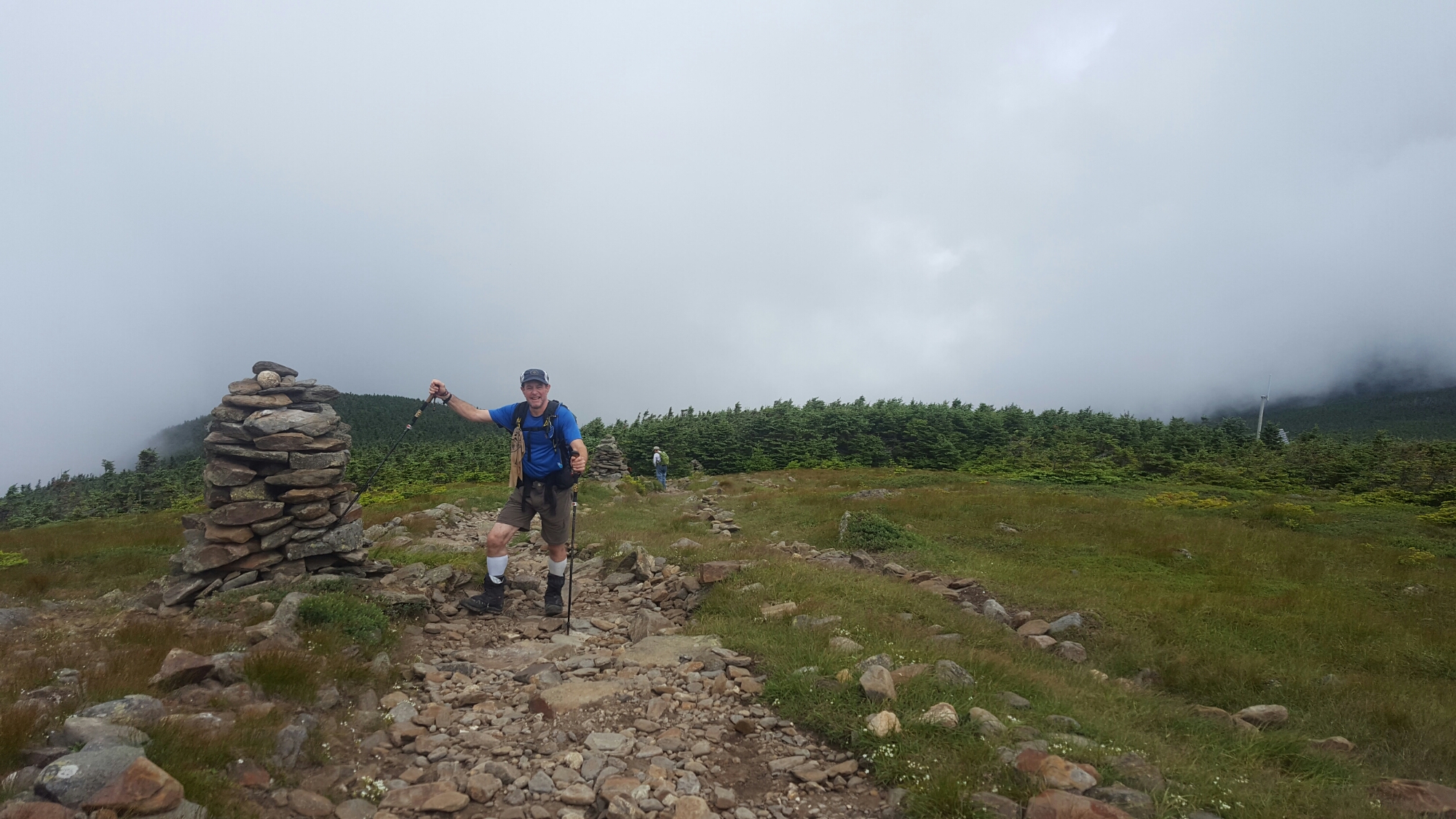
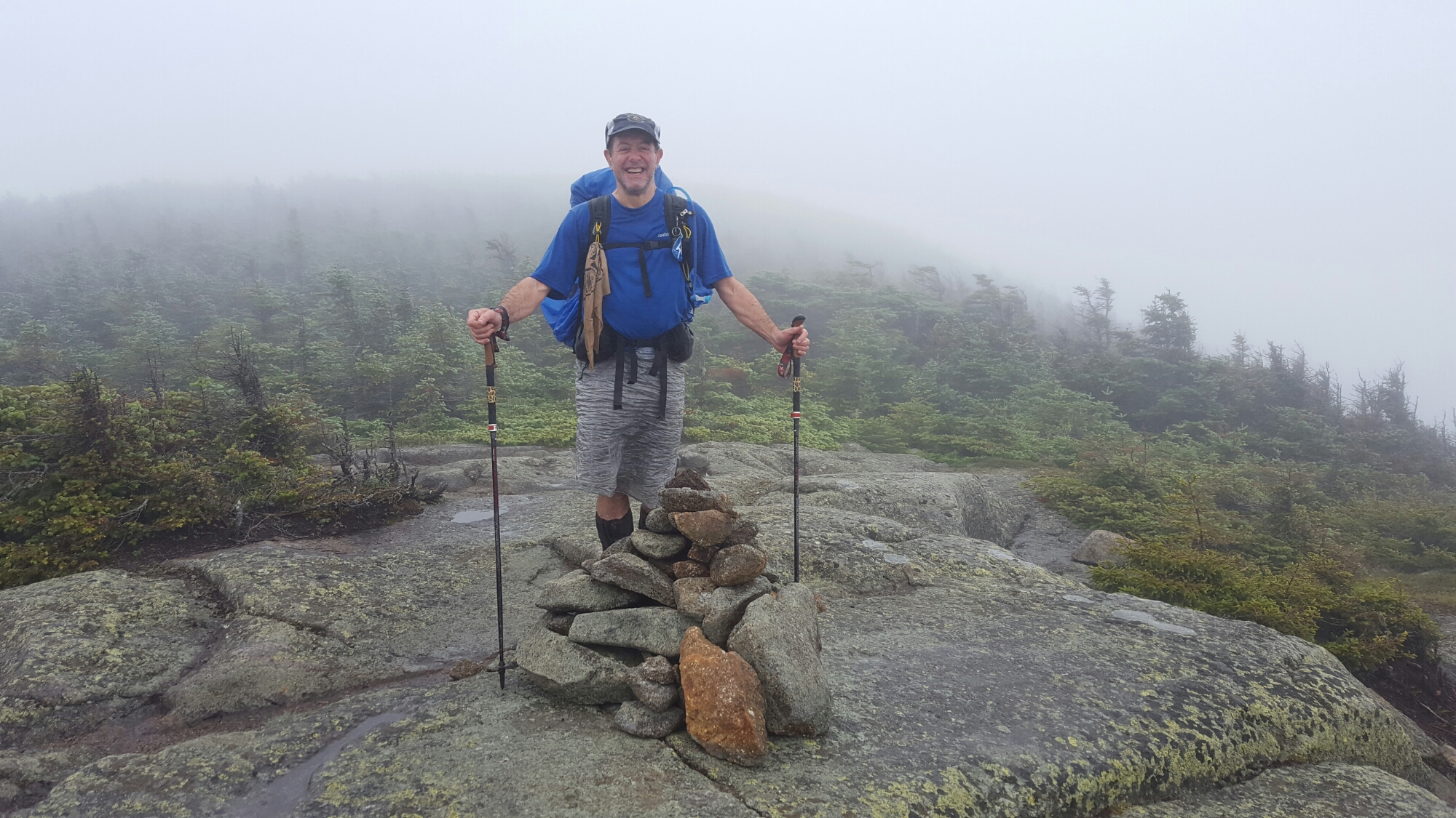
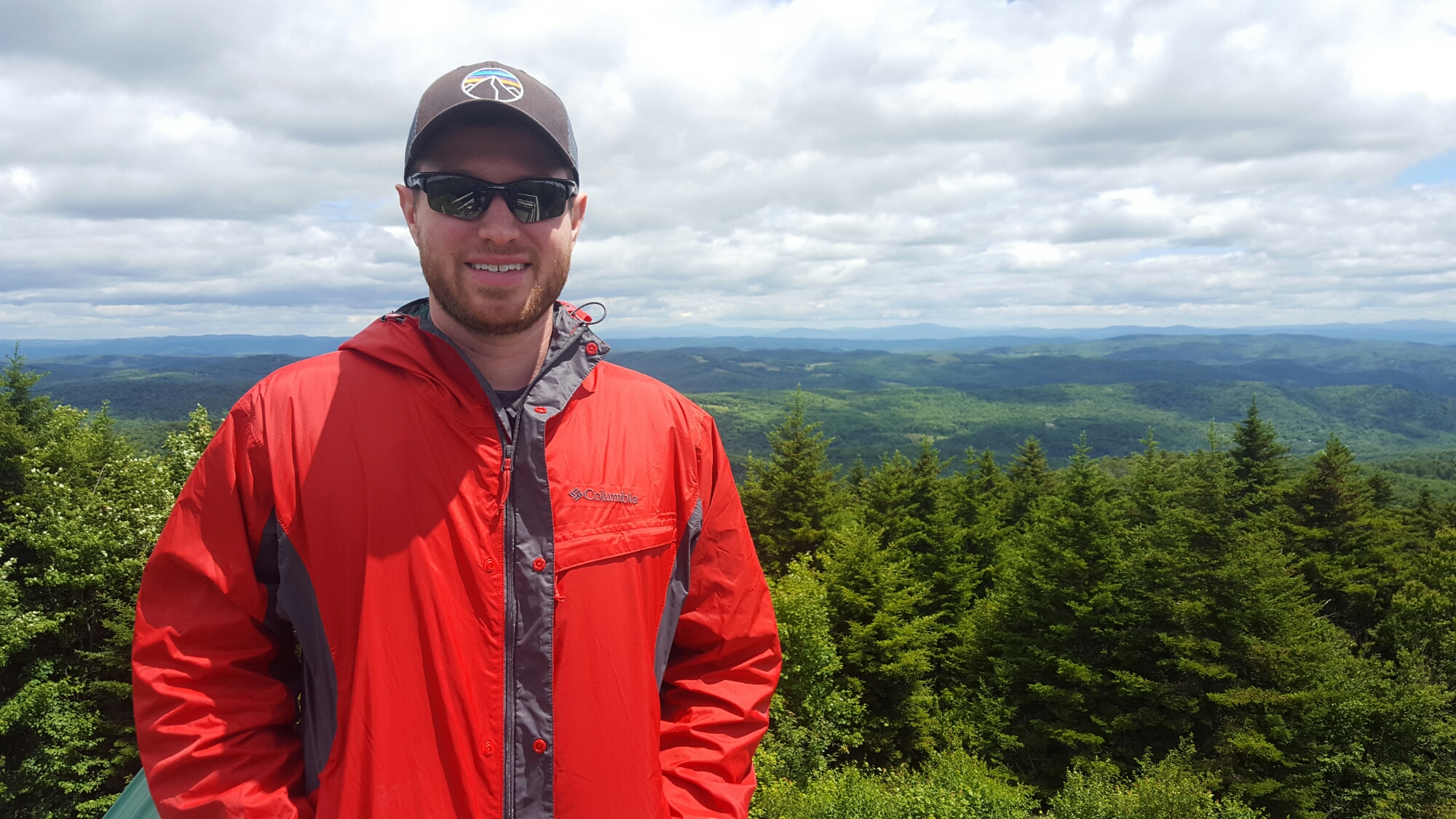
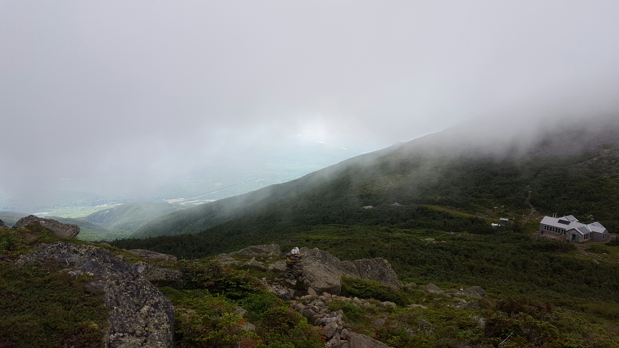
Here are some views of our summit up to Mount Washington. The highest peak in the Whites at 6288ft. They say that clouds preclude any view from the top 300 out of 365 days a year. Needless to say, we only saw fog, but it was still quite and adventure, hiking from cairn to cairn in very strong winds.


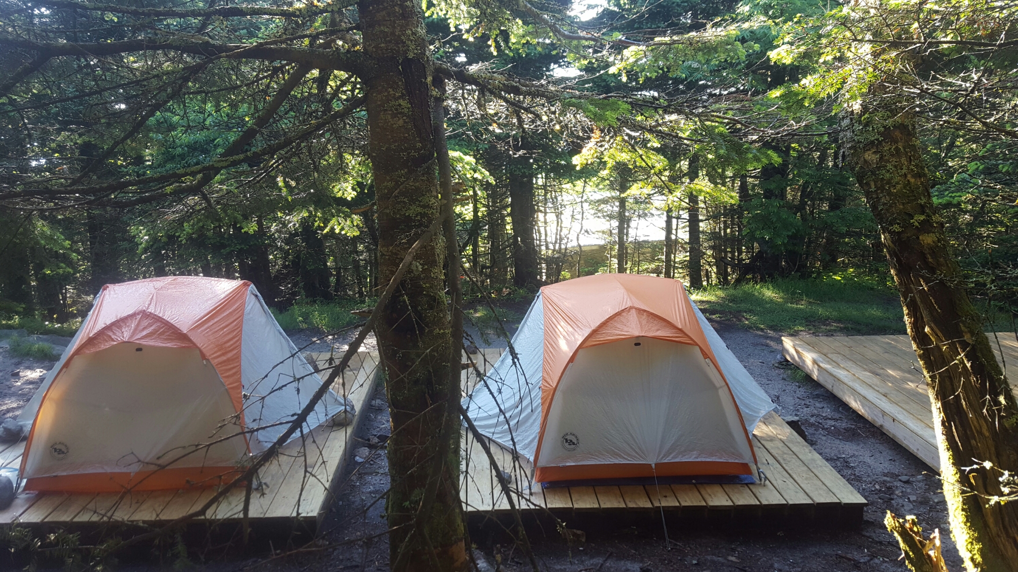
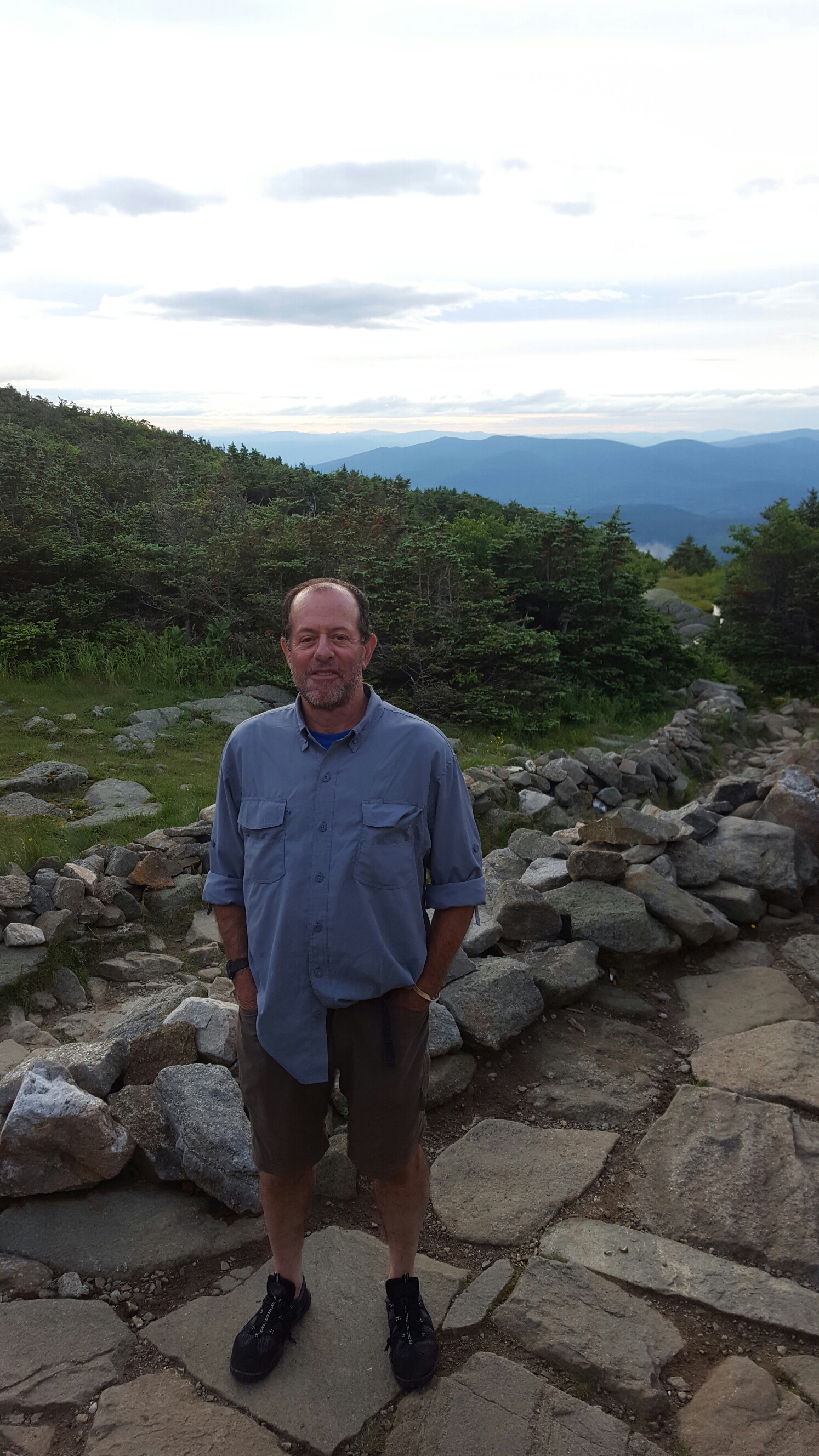
 BBy the end of the day we had hiked over 12 miles, more than my limit for the Whites, and I treated myself by staying at one of the Huts for the night.
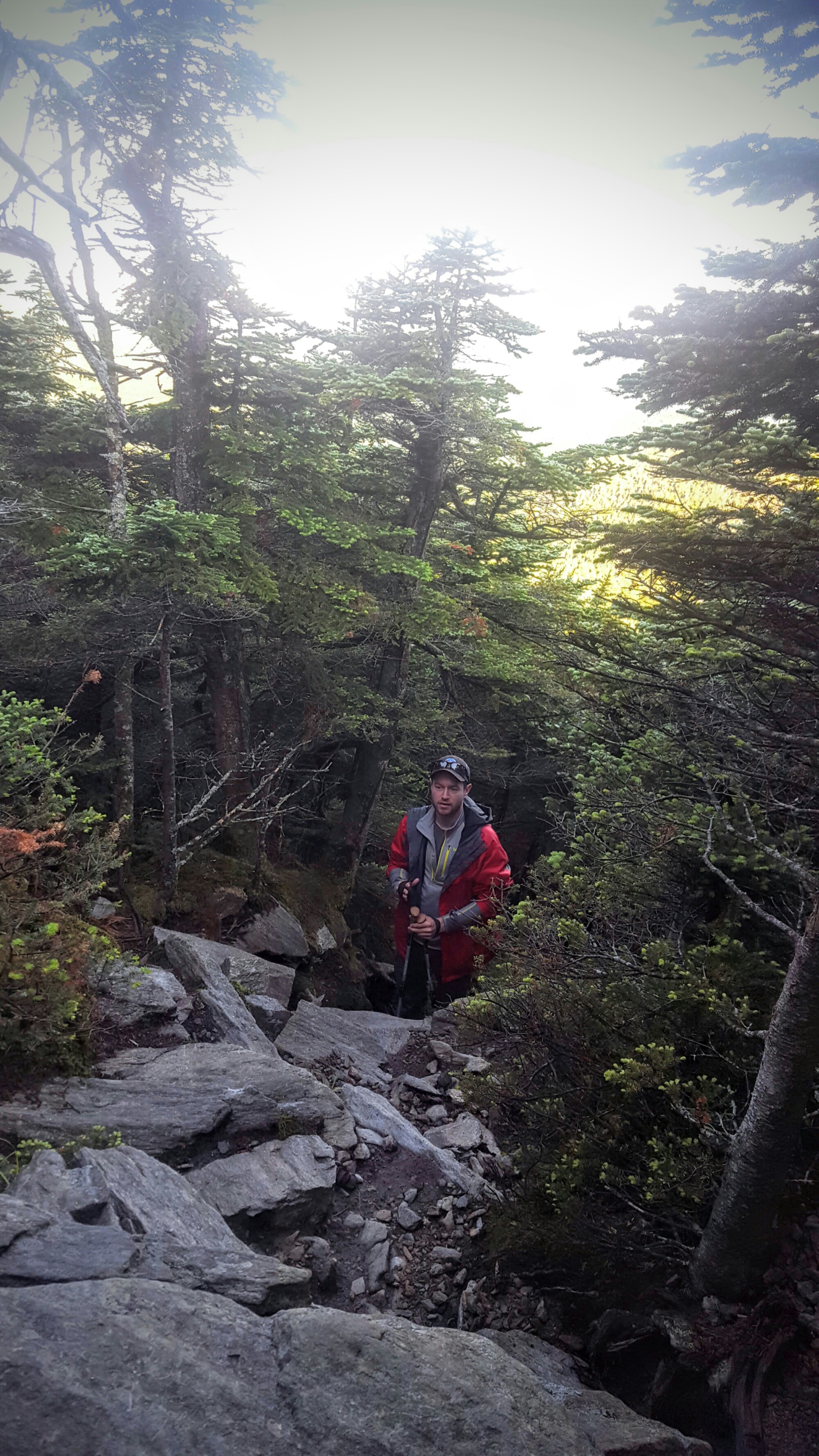
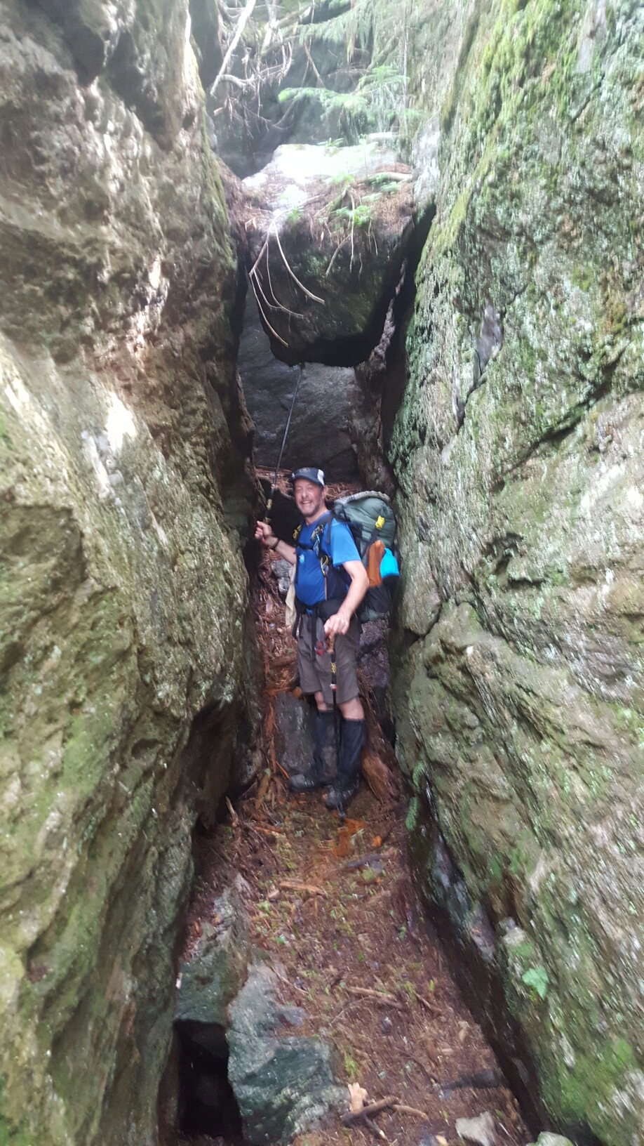
Next morning morning up and down Mt Madison. Very rocky, need special care going downhill.


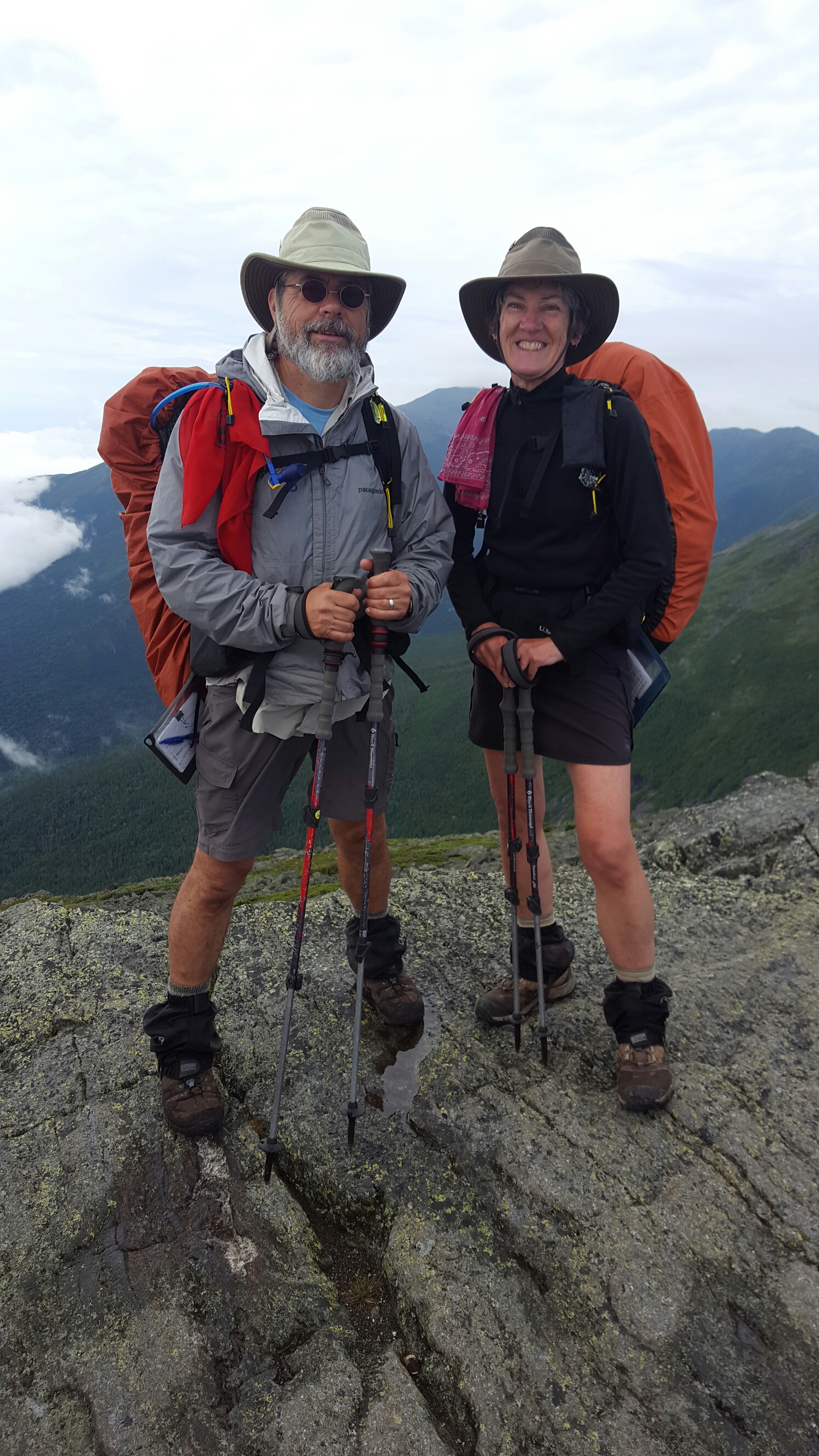
Nice to have hiking partners Chip (Clothesline) and Jan (Jangogh) watching out for me.
Made it to Pinkham Notch that evening. Final three Presidentials the next day :Wildcat, Carter and Moriah Mts:

 Fortunately, muscles are getting stronger every day.
Made it to Gorham NH with Jan and Chip last night. I’m taking a Shuttle tomorrow to Monson ME to begin my final trek through the “Hundred Mile Wilderness” section of the AT in Maine. This should be completed by summiting Katadin.
I’ll miss Jan and Chip on this last stretch. New lifelong friends I’m sure Stephanie and I will get to see again.
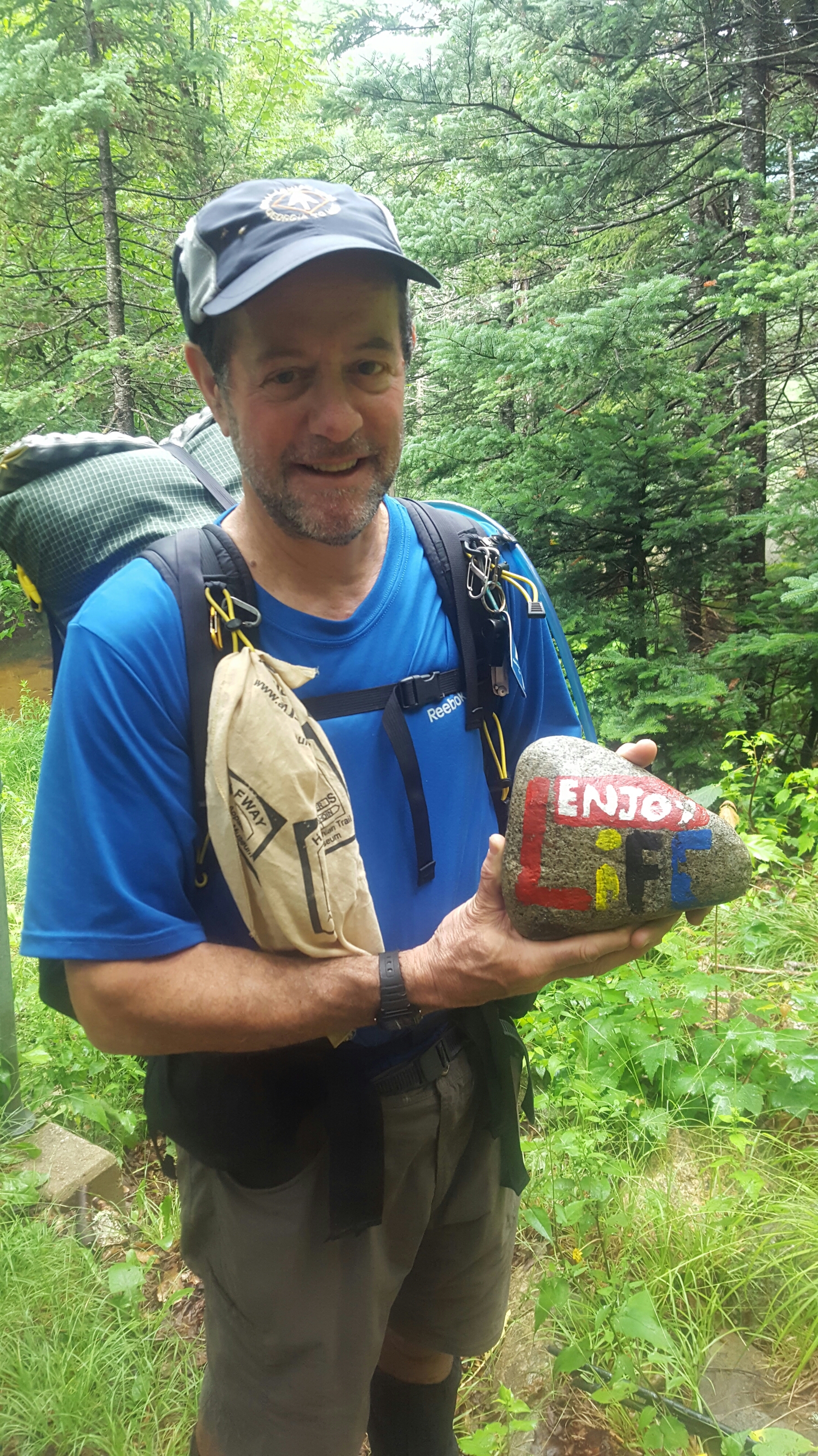
 The journey so far has been fantastic. Definitely stretching my physical (and sometimes mental) capabilities to the limit. Making new friends. Enjoying the outdoors immensely. Hiking with family has been great. I really miss Stephanie, grandpa, kids, friends from home. I’ll see you all soon.